top of page

Services
What We Offer
Orthomosaic Mapping

High-resolution 2D aerial maps for measurement and planning.
3D Mapping

Accurate digital terrain and structure models for analysis and design.
Volumetric Analysis
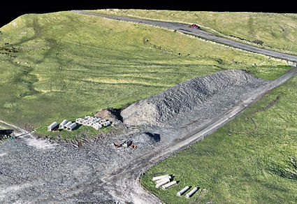
Volumetric surveys for cut/fill and material management.
Progress Monitoring

Aerial updates to document site progress and improve planning.
Wind Turbine Inspections

Detailed blade and tower imagery for proactive maintenance.
Roof Inspections

Safe, fast, high-detail roof assessments for homes and businesses.


bottom of page